NM ChicagoSurvey office

Sheet 03 - the work

Survey work

Five things come out of this office, and they come out in this order: a block is surveyed, the plates are bound into an atlas, the next walk produces a change log, the documents behind the block are explained, and the whole file is copied and indexed so it stays findable.

Services 05 Area Chicago neighborhoods Standing Documentary

Sheet data

Sheet
03 of 07
Firm
NM Chicago, LLC
Contact
Elizabeth Brooke[email protected]
Telephone
(847) 525-6556
Licensed
NoPlates are not legal boundary surveys
Service 01 Measured on the ground

Block surveys

Every structure on a block face measured and noted: height, setback, material, and the date stone where one exists. The face is walked from the corner lot inward, in order, so that the field book and the plate can be read side by side without an index of their own.

A survey is measured from the public way. We do not enter private property, and we do not measure what we cannot see; a figure that cannot be taken twice is written in the margin as uncertain rather than drawn on the plate.

  • Height, setback, width of face, and lot depth where the alley gate allows it.
  • Material and bond, with the condition of the mortar noted separately.
  • Openings counted; original sash, transoms and dormers noted individually.
  • Date stones read where legible, and marked uncertain where they are not.
Field table - what is measured
FigureHow it is takenField book
HeightGround at the front step to the cornice line.Column 2
SetbackBack of the public walk to the front step.Column 3
MaterialBrick, stone or frame, with bond and mortar condition.Column 4
Date stoneYear cut or cast, and whether it can still be read.Column 5
UncertainSeen but not measurable from the public way.Marginal note
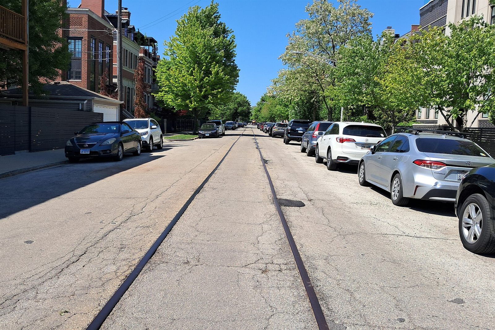
A block face on the west side
Fig. 01

A block face on the west side. Faces like this one are walked in a single morning and drawn over the winter.

Service 02 Bound with a legend

Neighborhood atlases

Plates drawn from surveys and public plats, bound with a legend that explains every line, hatch and symbol. An atlas is not a picture book: it is a set of sheets that can be read by someone who has never stood on the block, with the key printed on the page rather than kept in the drawer.

Atlases are assembled for a neighborhood rather than a single street, so the sheets refer to one another. A face plate carries its block number, its revision letter and the sheet it belongs to.

  • A key plate listing every block drawn, with its plate number.
  • One sheet per face, drawn to a stated scale.
  • Plat sheets showing recorded lines behind the built face.
  • A full legend, repeated on every sheet, never abbreviated.
Field table - contents of an atlas
Key plateIndex of blocks drawn, with plate numbers and the season of the last walk.
Face platesOne sheet per walked face, with the field table printed beneath it.
Plat sheetsRecorded subdivision lines, alley dedications and easements, copied with their reference.
LegendLine weights, hatches, symbols and lettering, as published on this site.
Revision recordEvery revision issued, with its date and a one-line note.
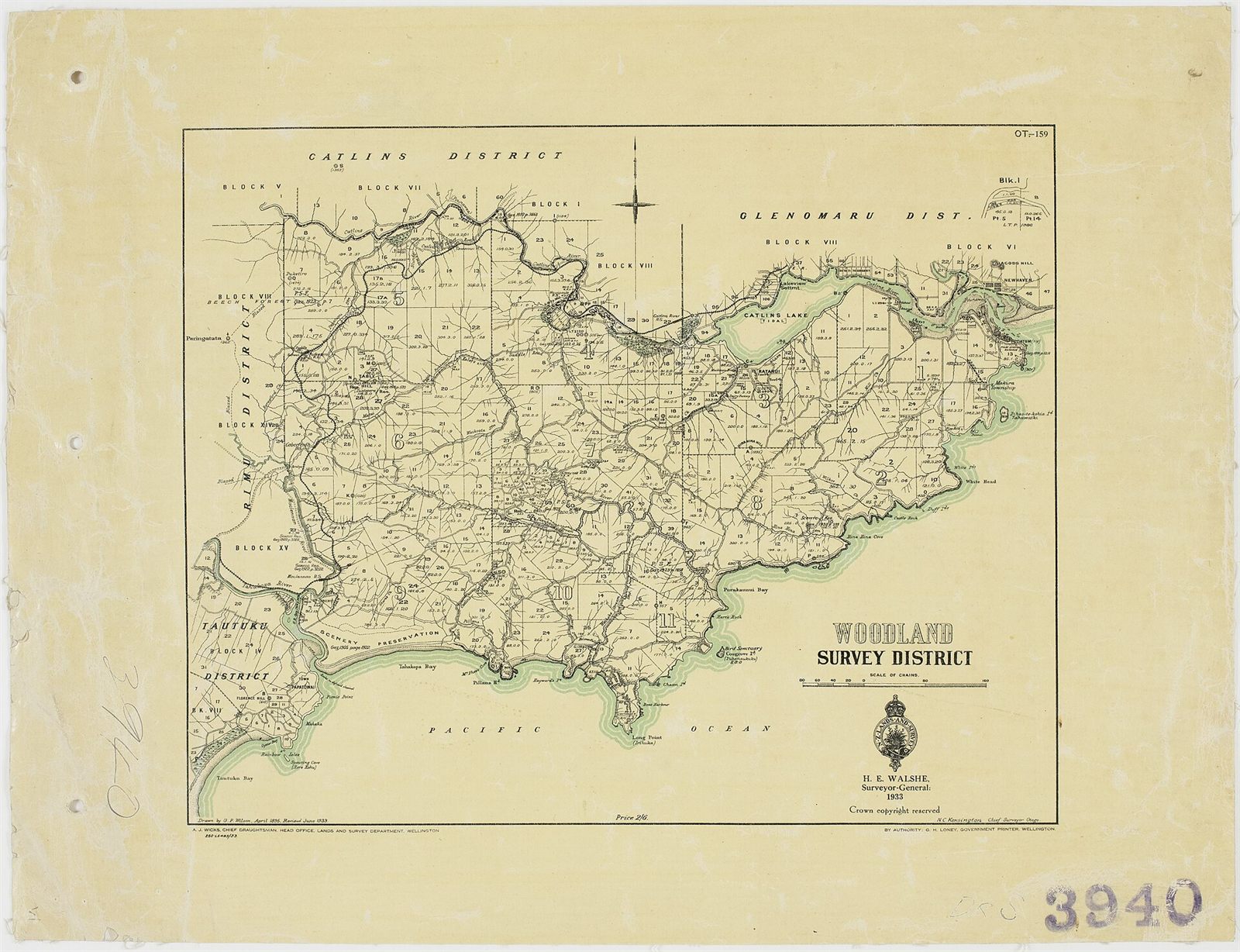
A folded city map on the drafting table
Fig. 02

A folded city map on the drafting table. The atlas sheets are laid out against it before they are inked.

Service 03 Two walks, one block

Change logs

What changed on a block between surveys: new dormers, lost cornices, repointed brick, replaced sash. A change log is written only where a block has been walked twice, and it records the difference without ranking it. Nothing is described as an improvement or a loss.

The log sits beside the plate, not inside it. The plate shows what stands today; the log shows what stood before, so a reader can see the block changing rather than being told about it.

  • Item by item, against the earlier plate and the earlier field book.
  • Dated to the day of each walk, not to the season.
  • Uncertain entries carried forward as uncertain, never resolved by assumption.
  • Corrections from residents entered as a new revision, with the source named.
Field table - how an entry is written
EntryRule
ChangedWhat stands now, and what stood at the earlier walk.
UnchangedNoted where it matters, so silence is not read as an omission.
LostA feature removed without replacement, described as it was.
UncertainTwo readings that do not agree; both are written down.
SourceField book number and walk date for every line.
Common brick, repointed and original
Fig. 03

Common brick, repointed and original. Repointing is the change most often logged, and the easiest to read wrong.

Service 04 Plain prose, no training needed

Plat reading guides

Plain guides to the documents behind a block: plats, easements, alley dedications and subdivision lines. A recorded plat is not difficult, but it is written for people who already know what they are looking at. These guides start from the page itself and work outward.

A guide tells you what a document says, where it is kept and what it cannot tell you. It does not interpret a boundary, and it is not advice about your legal position.

  • How lot lines, block lines and street lines differ on a recorded plat.
  • What an alley dedication does, and what it leaves open.
  • How an easement shows up on a plat, and where it does not show up at all.
  • Which office holds the record, and how to ask for a copy yourself.
Field table - documents a guide reads
DocumentWhat it settles
Recorded platThe subdivision as it was laid out, with lot and block lines.
Alley dedicationWhether an alley was dedicated, and to what width.
EasementA right carried over land, which may not be visible on the face.
VacationWhere a street or alley was closed, and when.
CustodianWhere the record is held and how a copy is requested.
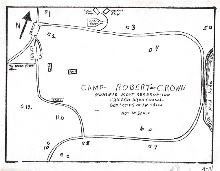
A recorded plat with subdivision lines
Fig. 04

A recorded plat with subdivision lines. Guides are written from documents like this one, with the reference printed beside every quotation.

Service 05 Kept findable

Archive copies

Survey plates and field books copied and indexed so a block's history stays findable by the people who live on it. Copies go to a resident who asks, to a historical society, or to a licensed surveyor who needs the background before starting a boundary job.

An index entry carries the block number, the face, the plate number, the revision and the season of the last walk. Without the index a flat file is only paper, so the index is written first and checked last.

  • Plates copied flat, at full size where the paper allows it.
  • Field books copied in sequence, with the walk dates kept in order.
  • Every copy indexed by block, face, plate and revision.
  • Sent on request to residents, historical societies and licensed surveyors.
Field table - what an index entry holds
BlockAs logged by this office, with the street and face walked.
PlatePlate number, revision letter, and the date of the current revision.
Field bookBook number and the dates of every walk recorded in it.
DocumentsPlat references held with the plate, by custodian.
Copies sentWho received a copy, and when, so the file can be followed.
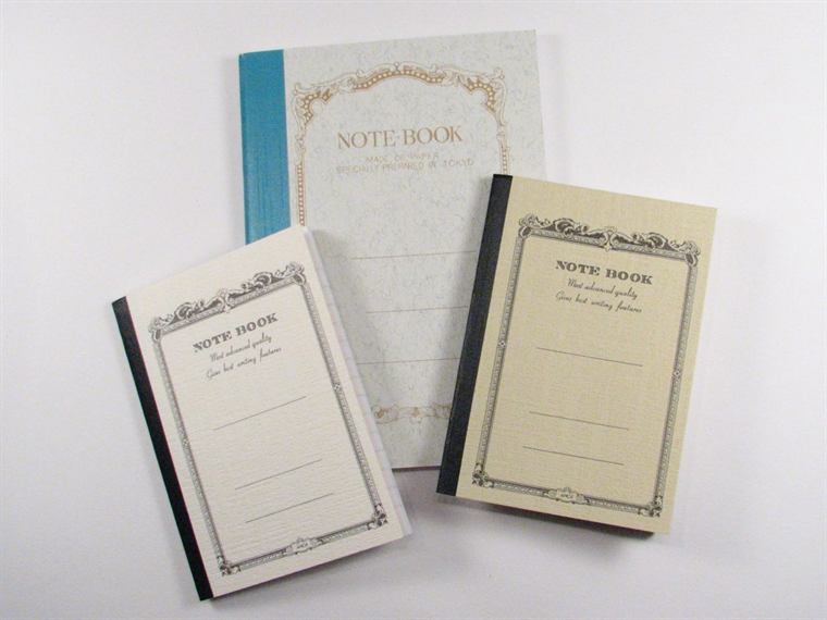
The field book, open at the current block
Fig. 05

The field book, open at the current block. Books are copied in sequence; a single page out of order is worse than no copy at all.

Asking for work

What to send with a request

Three details are enough to start: the street, the face you mean, and the block as the city numbers it if you know it. Everything else can be settled at the table.

A request, in order
StepWhat happens
01 Written downYour note is filed by block number and answered in writing.
02 CheckedThe index is checked first: the block may already be drawn.
03 QueuedIf it is not drawn, the block goes into the queue for a walk, in the order requests arrive.
04 WalkedThe first walk is logged. A plate is drawn only after a second walk.
05 SentCopies of the plate and its field table are sent to you, indexed.

Before you write

If you need a boundary located, a corner staked or a survey signed for a lender or a court, this office cannot help: we are not licensed surveyors. Hire an Illinois-licensed professional land surveyor, and we will send them whatever we hold on your block.

Published plates

Two plates are published in full on this site, with their field tables and change notes: Plate 04, the Fulton alley and Plate 11, the bungalow belt. The survey index lists the rest.

Contact us Read the guide